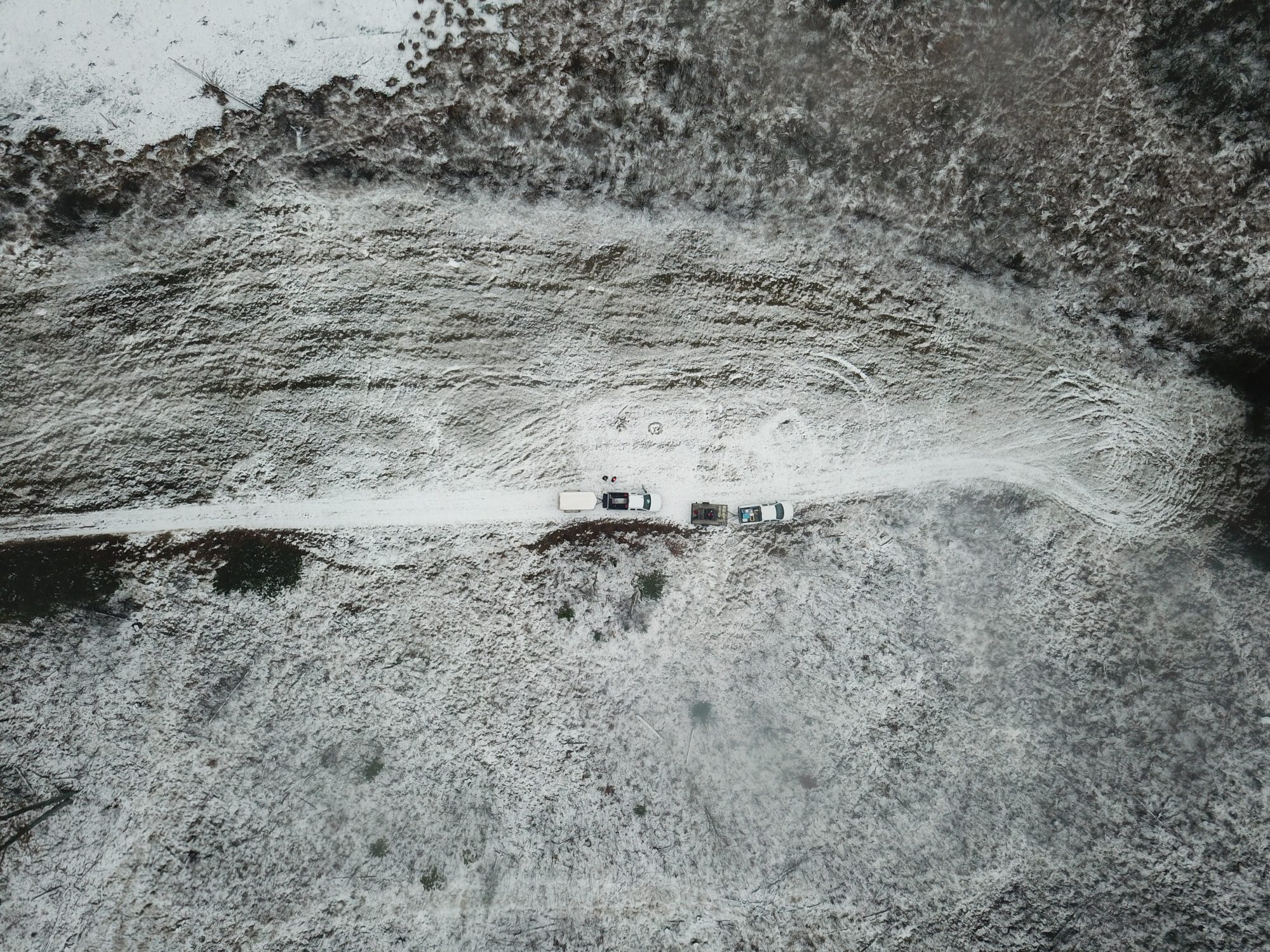
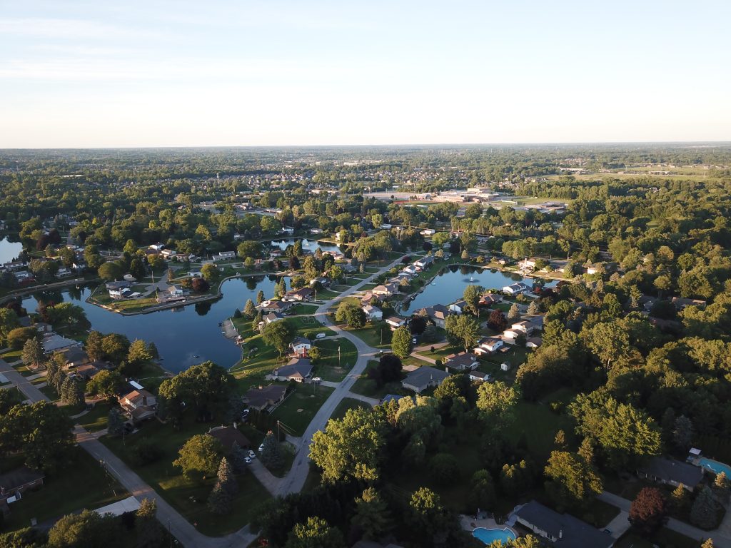
Aerial Digital Photography involves using our professional drones to capture high resolution images. This service is especially helpful when the area is hard to reach or you need an aerial view.
We offer the same services for high resolution videos.
Governmental regulations highly restrict the commercial use of Unmanned Aerial Systems (UAS). However, 2VS is fully certified by the Federal Aviation Administration (FAA) to operate UAS aircraft for aerial GPS surveying. We are a Part 107 compliant UAS operator. Our flight crews include licensed pilots and trained visual observers.
While pre-planning helps us provide the best quality and prices for our aerial GPS surveying services, we are also available for same day services. Feel free to reach out to us for a free phone consultation for your aerial GPS surveying needs. We give a 100% money-back guarantee for our services. If you are not happy with the result(s), you don’t have to pay anything!