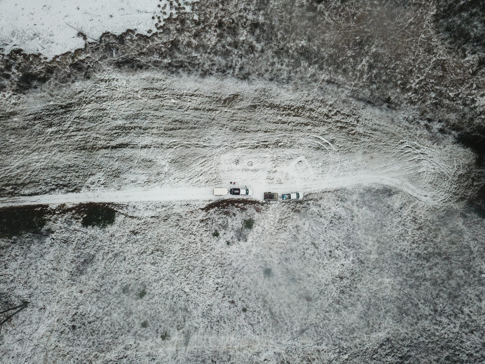

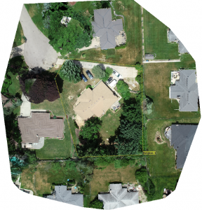
Aerial GPS surveying is the process of collecting thousands of pictures of a selected area and stitching them together to create one large picture. Aerial GPS surveying is helpful when the land to be surveyed is not easily or safely accessible. This is also helpful when the land is not clearly visible from nearby tall structures.
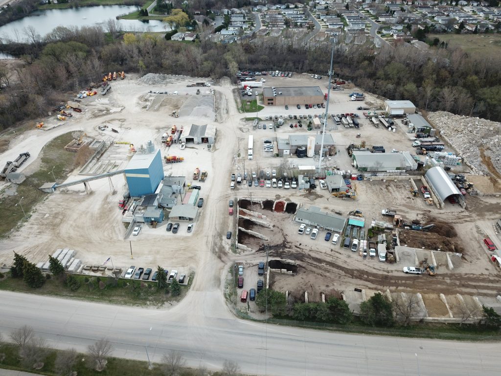
2VS has extensive experience providing aerial GPS surveying services for residential buildings, office buildings, industrial buildings, farms, and vast unused areas of land. Our aerial GPS surveying services can also be used for scanning an area prior to land development.
Governmental regulations highly restrict the commercial use of Unmanned Aerial Systems (UAS). However, 2VS is fully approved by the Federal Aviation Administration (FAA) to operate UAS aircraft for aerial GPS surveying. We are a Part 107 compliant UAS operator. Our flight crews include licensed pilots and trained flight observers.
While pre-planning helps us provide the best quality and prices for our aerial GPS surveying services, we are also available for same day services. Feel free to reach out to us for a free phone consultation for your aerial GPS surveying needs. We give a 100% money-back guarantee for our services. If you are not happy with the result(s), you don’t have to pay anything!